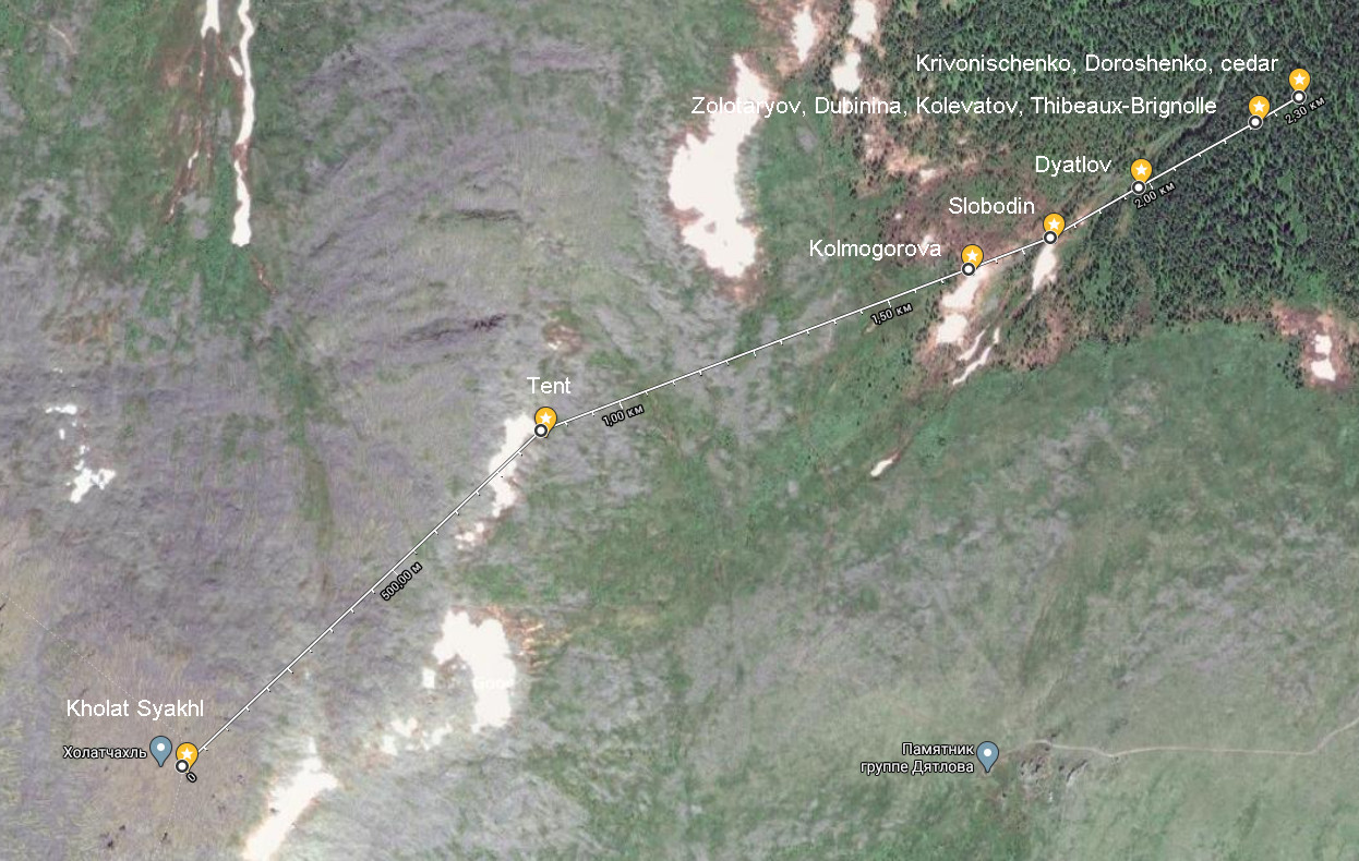
Materials from the new investigation
We can review some of the results from the Prosecutor's preliminary investigation. The documents were immediately bombarded with criticism by the case researchers and experts on the Dyatlov Pass incident. We start with the location of the tent, with which Kuryakov spoke very proudly at the press conference held in the Komsomolskaya Pravda editorial on July 11, 2020.
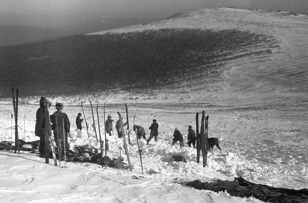
Feb 28, 1959
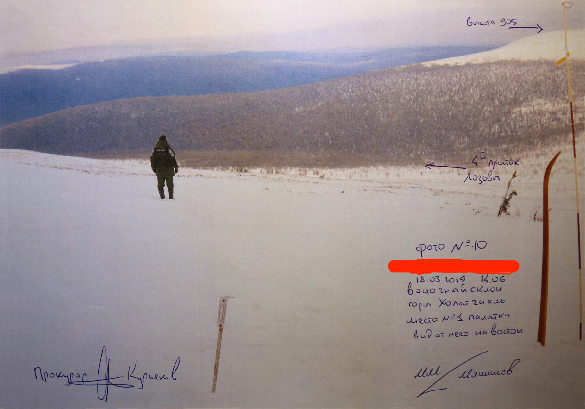
Mar 18, 2019
Summit 905 →, ← 4th tributary to Lozva, Photo №10, 18.03.2019 2:06 pm, East slope of Kholat Syakhl, tent location №1, view to the East, Prosecutor Kuryakov signature, M.M. Malishev signature
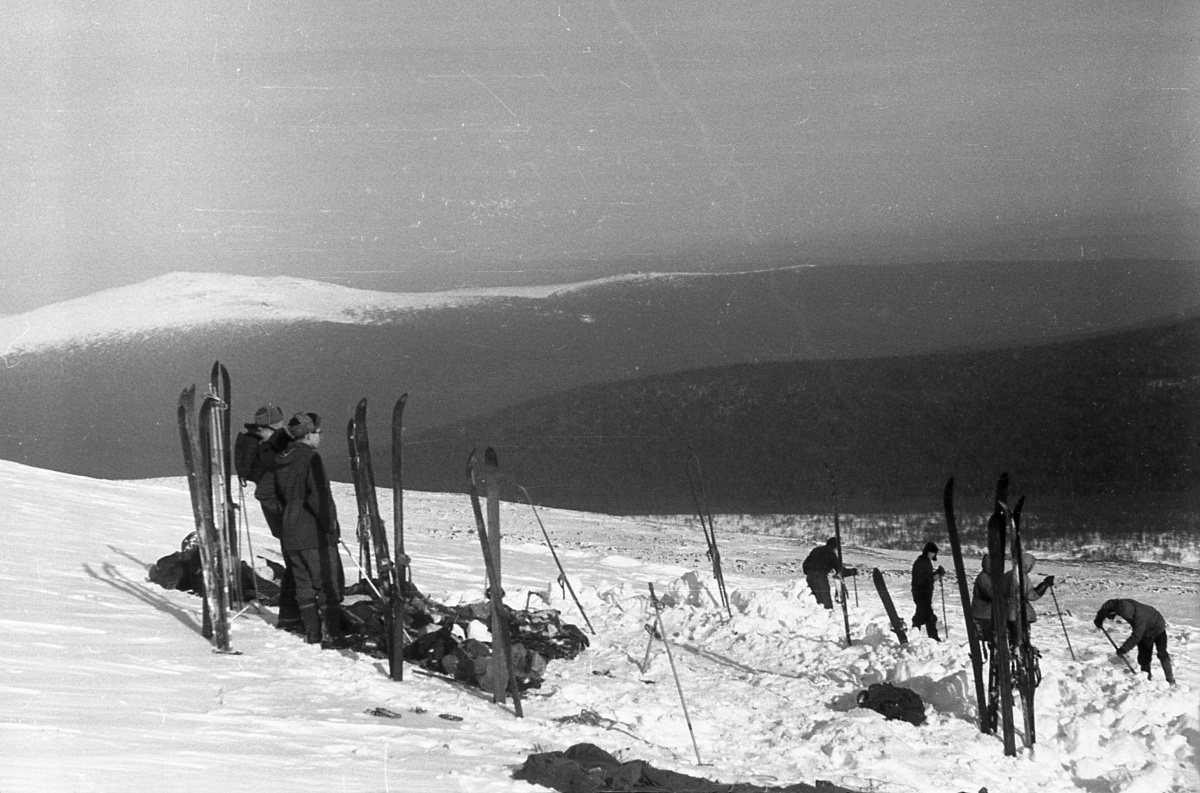
Feb 28, 1959
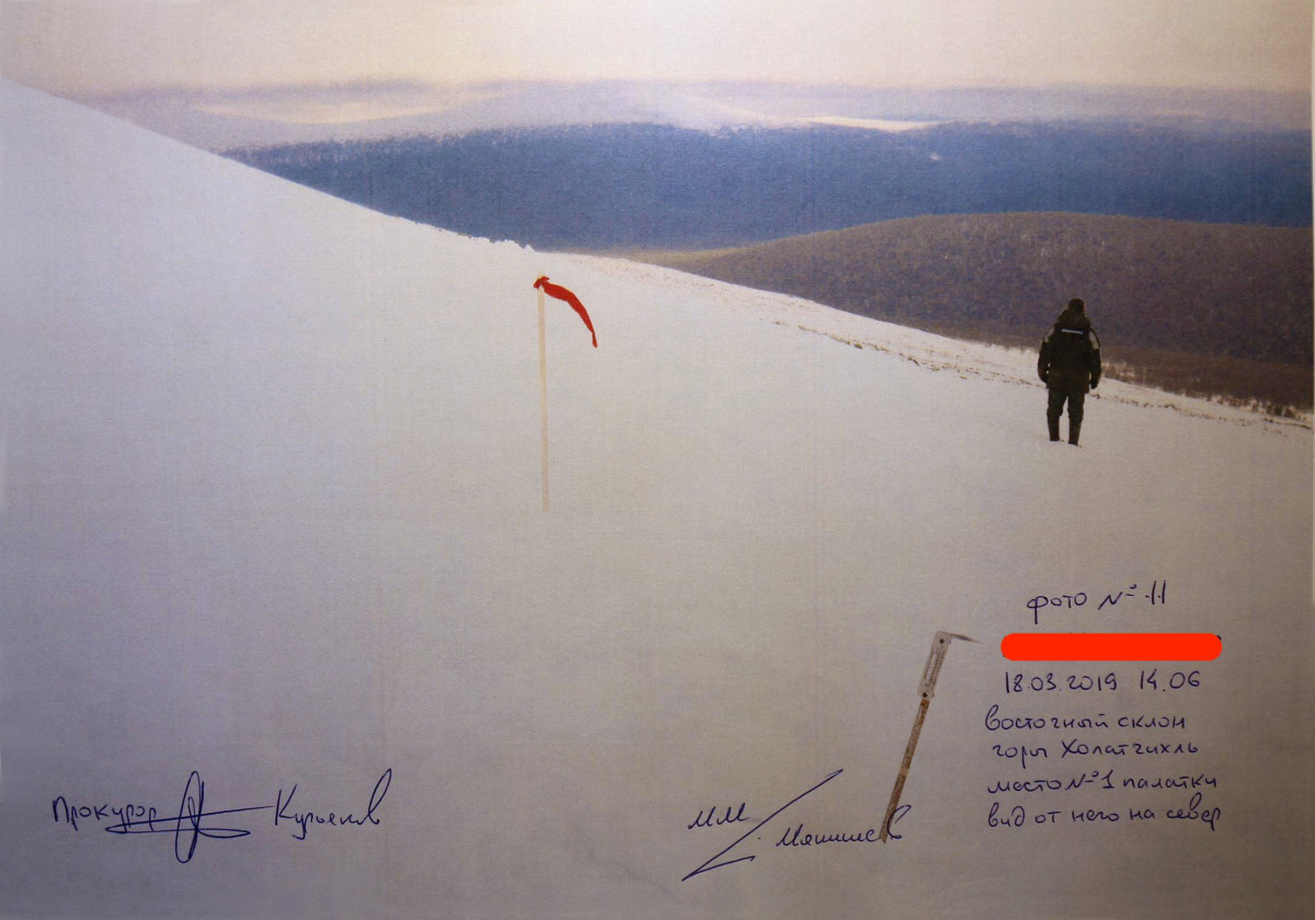
Mar 18, 2019
Photo №11, 18.03.2019 2:06 pm, East slope of Kholat Syakhl, tent location №1, view to the North, Prosecutor Kuryakov signature, M.M. Malishev signature
The calculated data are given in the table with accuracy of determining distances ±50 m.
Here is the original document.
| SK-42 X, Y | GPS coordinates | Altitude | ΔX | ΔY | Lenght | Slope | Angle | |||
| Kholat Syakhl | 6852000 | 10627820 | 61.75437 | 59.41858 | 1096.7 | |||||
| Tent | 6852608 | 10628425 | 61.75962 | 59.43045 | 894 | -608 | -605 | 858 | 880 | 13.3 |
| Kolmogorova | 6852920 | 10629160 | 61.76217 | 59.44458 | 709 | -312 | -735 | 798 | 821 | 13.0 |
| Slobodin | 6852980 | 10629300 | 61.76266 | 59.44727 | 685 | -60 | -140 | 152 | 154 | 9.0 |
| Dyatlov | 6853080 | 10629450 | 61.76351 | 59.45018 | 652 | -100 | -150 | 180 | 183 | 10.4 |
| Krivonischenko Doroshenko cedar | 6853250 | 10629720 | 61.76494 | 59.45541 | 633 | -170 | -270 | 319 | 320 | 3.4 |
| Kolevatov Dubinina Zolotaryov Thibeaux-Brignolle | 6853200 | 10629650 | 61.76451 | 59.45405 | 637 | 50 | 50 | 71 | 71 | 3.2 |
Crash course on coordinate conversion from SK-42 to GPS (WGS-84) systems.
You need to know which zone are you in method 1 or method 2 and then use the GPS calculator selecting Пулково 1942 10 ГОСТ 51794-2008 [EPSG:28410] from the drop down.
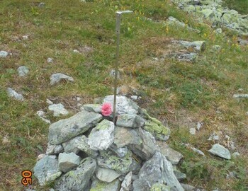
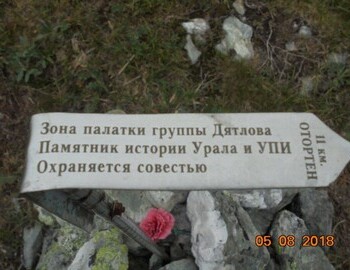
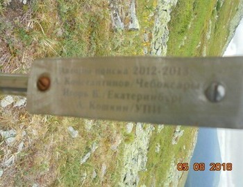
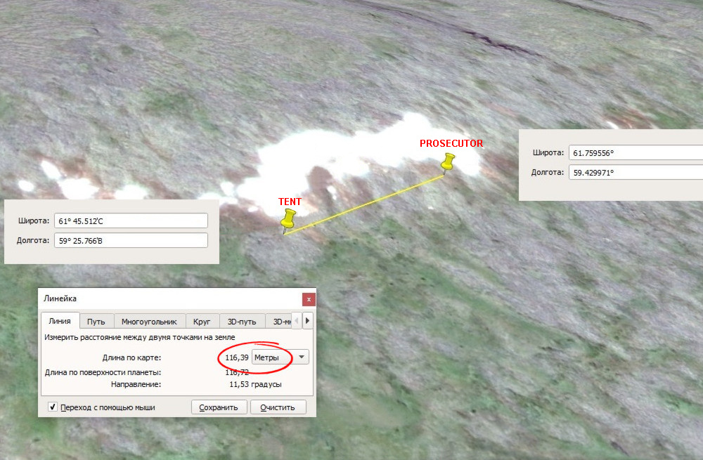
Russians vigorously disagree with the Prosecutor's results. They have been going to the pass year after year and have pinpointed the location of the tent with certainty. On the photos of the prosecutors the pole with the red flag is positioned very close to the cairn and pin (red arrow) left by Russian researcher KAN marked on the map below as TENT. Somehow through calculations the prosecutors managed to put it at a distance of 116 m north.
We have updated the information to the Google map with the latest coordinates. You can uncluttered your view by selecting and deselecting the layers from the icon to the left.
Kuryakov said that according to the situational and behavioral specialists, after Krivonischenko and Doroshneko died, all of the remaining started off towards the tent. Kolmogorova, Slobodin and Dyatlov backtracked their footprints while Zolotaryov, Dubinina, Kolevatov and Thibeaux-Brignolle had to break trail and didn't go very far.


